Tropical Storm DANNY Public Advisory
500 AM AST
MON AUG 24 2015
…DANNY SLOWS DOWN AS IT APPROACHES THE SOUTHERN LEEWARD ISLANDS…
LOCATION…15.8N 60.5W
ABOUT 60 MI…95 KM ENE OF DOMINICA
ABOUT 70 MI…110 KM ESE OF GUADELOUPE
MAXIMUM SUSTAINED WINDS…40 MPH…65 KM/H
PRESENT MOVEMENT…W OR 275 DEGREES AT 9 MPH…15 KM/H
MINIMUM CENTRAL PRESSURE…1007 MB…29.74 INCHES
WATCHES AND WARNINGS
——————–
CHANGES WITH THIS ADVISORY:
The Meteorological Service of Antigua has discontinued the Tropical Storm Warning for Antigua, Barbuda, Montserrat, St. Kitts, and Nevis.
The Meteorological Service of Curacao indicates that a Tropical Storm Warning is in effect for Saba and St. Eustatius.
SUMMARY OF WATCHES AND WARNINGS IN EFFECT:
A Tropical Storm Warning is in effect for…
* Saba and St. Eustatius
A Tropical Storm Watch is in effect for…
* St. Maarten
For storm information specific to your area in the United States, including possible inland watches and warnings, please monitor products issued by your local National Weather Service forecast office. For storm information specific to your area outside the United States, please monitor products issued by your national meteorological service.
DISCUSSION AND 48-HOUR OUTLOOK
——————————
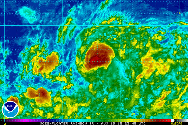
At 500 AM AST (0900 UTC), the center of Tropical Storm Danny was located near latitude 15.8 North, longitude 60.5 West. Danny is moving toward the west near 9 mph (15 km/h), and a westward to west-northwestward motion is expected over the next 48 hours. On the forecast track, the center of Danny will move across the southern Leeward Islands later this morning and afternoon, and move into the northeastern Caribbean Sea by this evening.
Reports from a NOAA Hurricane Hunter aircraft indicate that maximum sustained winds remain near 40 mph (65 km/h) with higher gusts.
Weakening is forecast during the next 48 hours, and Danny is expected to become a tropical depression by this evening, and degenerate into a remnant low tonight or on Tuesday.
Tropical-storm-force winds extend outward up to 60 miles (95 km) from the center.
The latest minimum central pressure reported by NOAA aircraft data is 1007 mb (29.74 inches).
HAZARDS AFFECTING LAND
———————-
WIND: Tropical storm conditions are expected within portions of the warning area this morning. Tropical storm conditions are possible elsewhere over the Leeward Islands through this morning from Guadeloupe northward.
RAINFALL: Danny is expected to produce 2 to 4 inches of rain over the Leeward Islands, the U.S. and British Virgin Islands, and Puerto Rico through Tuesday.